Our journey began in Calgary, where we hired a Lidar company to create a city Lidar map for research and development purposes. By using this Lidar map, we were able to achieve maps with a resolution of 10cm (about 4 in) and decimeter-level positioning accuracy using our INS, GPS, and radar software solution called AUTO. The success of this experiment led our team in Detroit to seek similar results. However, with the onset of COVID lockdowns and cancellation of cross-border travel in 2020/2021, we faced a significant challenge to support such a remote setup; we were unable to send our engineering team or the Lidar company to Detroit to create the maps.
To overcome this hurdle, we needed to find another solution. The solution came in the form of using the same low-cost INS/GNSS/radar hardware that is used for positioning, but with a larger data collection to achieve greater accuracies; in essence, emulated crowdsourcing. We mounted radars to the top of a car and emulated crowdsourcing by driving the routes multiple times. Lidar typically needs less passes on the same road to gather accurate data, but we needed more passes to ensure accuracy. After approximately 10 passes on each road, we were able to create a similar 2D map of Calgary in comparison to the lidar map. Once we were confident that the maps were comparable to the Lidar maps, we could use them for accurate positioning.
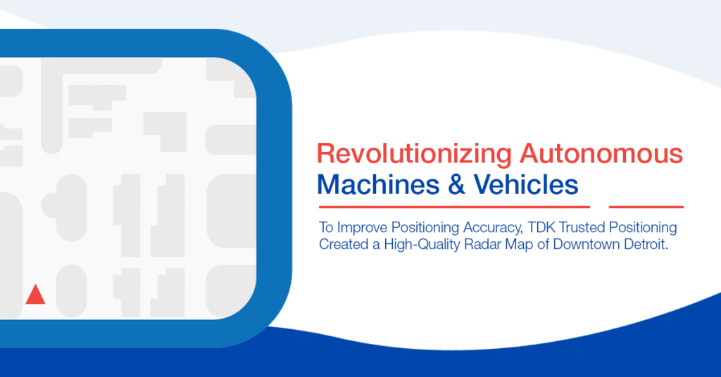
The next step was to replicate these results in Detroit. Our Detroit team rented a car, was provided a roof rack design and, with the support of our Calgary engineering team, was able to map Downtown Detroit by driving routes multiple times. The most impressive part of this solution was the ability to survey GPS-challenged areas, such as between tall downtown buildings, in narrow alleys, in tunnels, and under overpasses. With these Detroit maps, we can now achieve decimeter-level positioning where GNSS is off by tens of meters or not available at all.
This achievement is truly remarkable because it proves that our AUTO positioning can achieve lane level positioning in urban areas without needing expensive survey vehicles with lidar. The same sensors used for positioning can be used to crowdsource the needed maps prior to enabling autonomous positioning in a service area.
Furthermore, our AUTO product can use real-time map creation to determine if the global map (the offline map) is outdated. If multiple datasets collected from our real-time maps indicate there are discrepancies to the global map, we can update the vehicle positioning uncertainty in real-time and collect crowdsourced data to correct the offline maps. This is a significant advantage in areas where there are frequent changes to the environment, such as construction sites or roads under development.
The creation of the radar map of Downtown Detroit is a testament to our commitment to innovation and technology. By thinking outside the box and finding creative solutions to the challenges we faced, we were able to achieve our goals and improve the accuracy of our AUTO positioning software, while maintaining cost effective, reliable and accurate solutions for our customers. Our success in Detroit has paved the way for further innovation and advancement in our technology, and we are excited to see what the future holds.
Interested parties can request a demonstration drive in our Calgary or Detroit vehicles to see AUTO in action.